1821–1847 CE · Americas · Rights
Central America: independence and the federal experiment
The five states of a short-lived Central American federation did not emerge through identical national stories. Independence, a federal constitution and a prolonged breakup must be distinguished from one another.
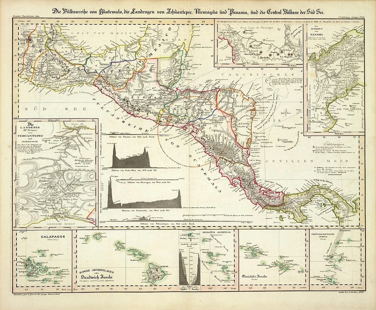 Enlarge and examine the picture
Heinrich Berghaus · David Rumsey Map Collection via Wikimedia Commons · Public domain · WebP conversion of 1280px delivery image · Source and rights ↗ · Licence terms
Independence was a sequence
The territories now known as Guatemala, El Salvador, Honduras, Nicaragua and Costa Rica declared independence from Spain in September 1821. A union of the five took shape in 1823; the federal constitutional project followed in November 1824. These dates describe different stages, rather than rival answers to a single question about when Central America became independent.
A federation with an international presence
The federation conducted diplomacy as a political union. Its 1825 treaty with the United States addressed peace, commerce and navigation, and came into force in 1826. The document uses the name “Federation of the Centre of America”. Reading a contemporary treaty alongside later country histories helps explain why five present-day states can share an earlier federal diplomatic record.
Breakup was not one clean date
Civil war accompanied dissolution beginning in 1838. The union was largely defunct by the early 1840s, while diplomatic and legal traces continued longer. The published treaty collection distinguishes practical dissolution in 1839 from complete termination by 1847. The endpoint displayed here follows that distinction rather than implying that a functioning federation governed throughout the entire period.
Read the map as a historical document
Heinrich Berghaus’s 1840 map combines Central American geography with volcanic features and Pacific island insets. It is a European cartographic view made during the federation’s dissolution, not a modern political map or a statement of uncontested borders. Belize and Panama need separate histories; the five-member federation did not encompass every territory now grouped under Central America.