1845–1872 CE · Oceania · War
The New Zealand Wars: land, alliances and sovereignty
Wars between Crown forces, Māori opponents and Māori allies of the Crown reshaped authority and landholding across the North Island.
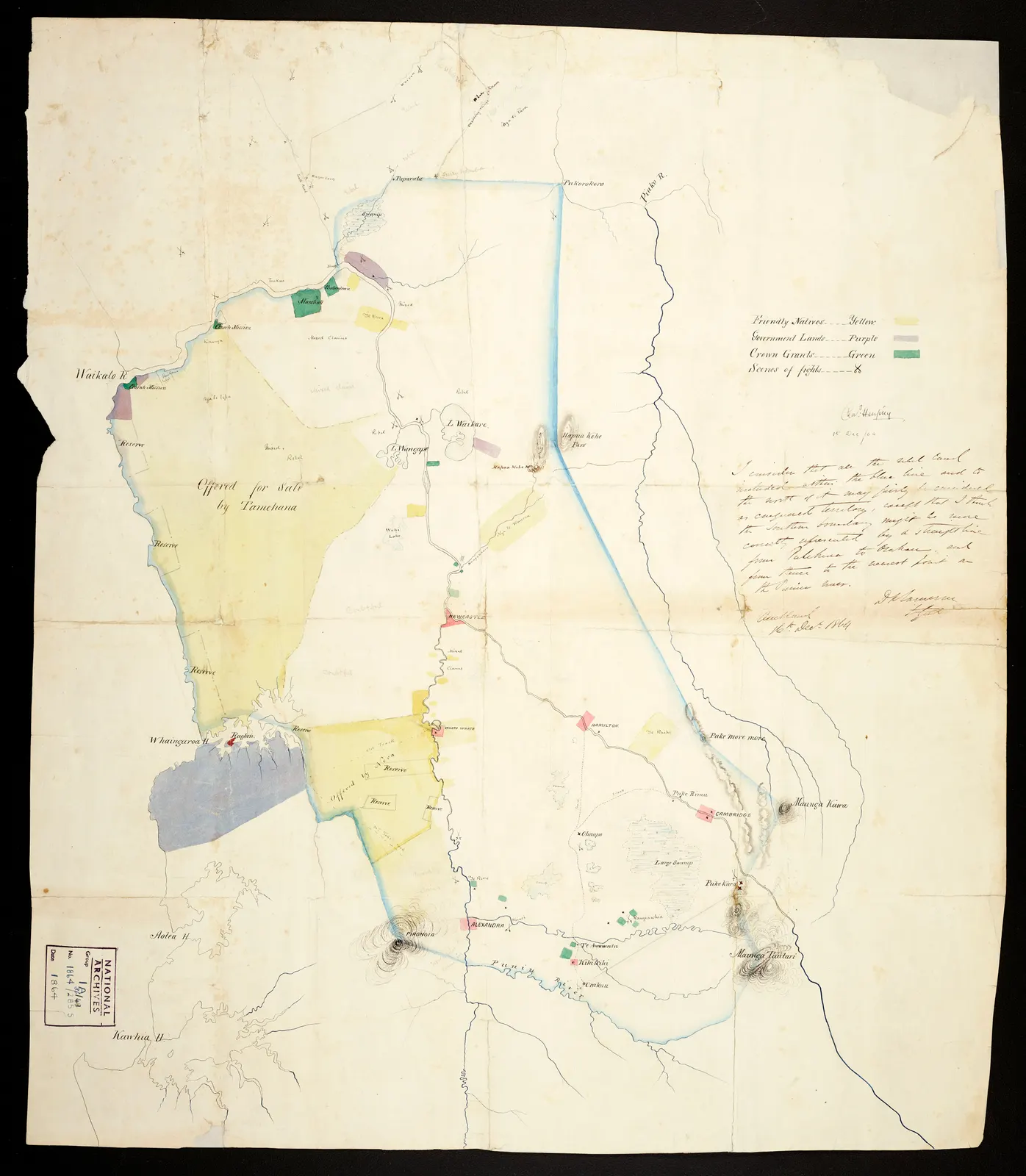 Enlarge and examine the picture
Archives New Zealand Te Rua Mahara o te Kāwanatanga · ACGO 8368 IA36/8/49 · CC BY 2.0 · Full frame retained; resized and converted to WebP · Source and rights ↗ · Licence terms
The Treaty did not settle sovereignty
After the signing of te Tiriti o Waitangi in 1840, sovereignty remained contested. European settlement increased demand for land, while many Māori communities resisted further sales. The wars of the 1840s and 1860s–early 1870s developed from these disputes over political authority and control of land.
Different communities made different choices
Māori were not a single military bloc. Some fought British and colonial forces; others allied with them for their own political reasons, including earlier conflicts with neighbouring groups. Understanding these alliances avoids reducing the wars to two internally uniform populations. Regional campaigns also had different origins and outcomes.
Confiscation outlasted the fighting
Most of those killed in the wars were Māori. Many survivors then lost land through confiscation. Military chronology therefore explains only part of the transformation: dispossession also affected livelihoods and the ability to exercise authority. The 1872 endpoint does not imply that resistance or land conflict ended then.