800–1500 CE · Asia · Empire
Angkor: Khmer cities, water and religious change
Cambodia’s history includes centuries of Khmer urban life before the twentieth-century catastrophes. Angkor connects monumental temples with water infrastructure, agriculture and changing religious traditions.
 Enlarge and examine the picture
Satdeep Gill / Wikimedia Commons · CC BY-SA 4.0 · Existing crop resized and converted to WebP; derivative under the same licence · Source and rights ↗ · Licence terms
More than Angkor Wat
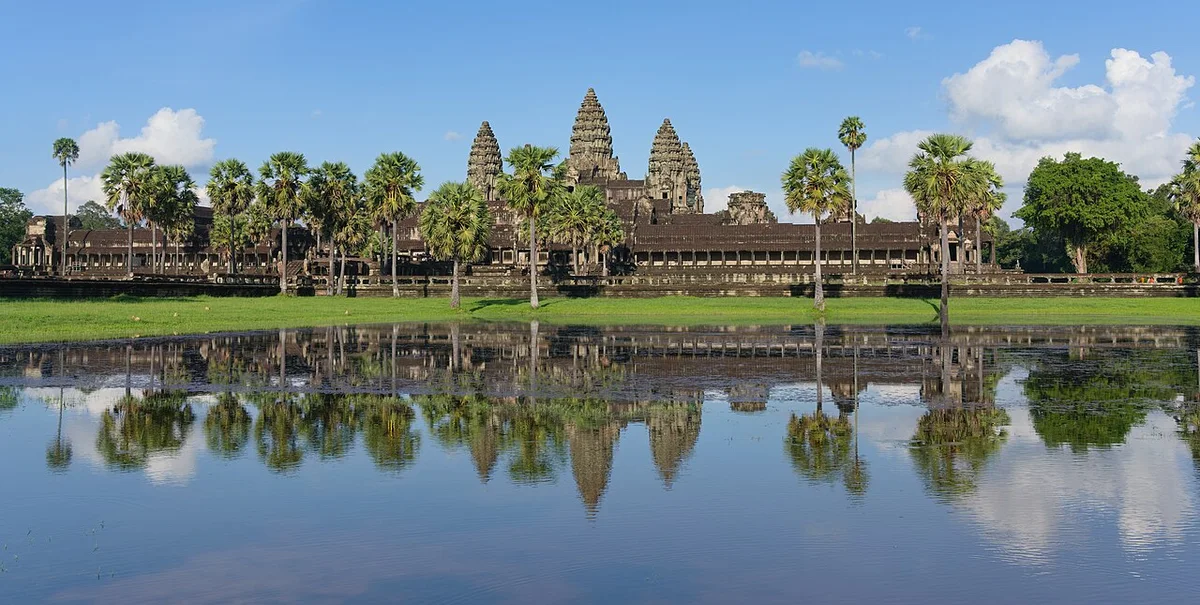
The Angkor region preserves successive Khmer capitals from the ninth to fifteenth centuries. Angkor Wat is one monument within this larger landscape; Angkor Thom and the Bayon belong to other royal projects. Reading the whole region prevents one famous silhouette from replacing centuries of political and architectural change.
Cities depended on water and labour
Reservoirs, canals, dykes, basins and communication routes connected temples with their surroundings. Rice-growing communities were part of this inhabited landscape. Monumental architecture should therefore be studied alongside the land, water systems and labour that supported it, rather than as evidence of royal achievement alone.
Religious and artistic exchange
Khmer builders adapted influences from the Indian subcontinent while developing distinctive architectural traditions. Hindu and Buddhist monuments preserve changing forms of patronage. The modern photograph shows Angkor Wat’s surviving fabric; it cannot recover every former building, resident or ceremony. Angkor’s later history and contemporary communities also resist the misleading idea of a civilisation simply vanishing.