ATLAS / ANCIENT—PRESENT
All historyHow Atlas is sourced← Back to Atlas
Back to Atlas timeline
Marie Tharp - bizilabe.png

1963–1968 CE · selected seafloor evidence and tectonic synthesis · Global · Science

Plate tectonics and Earth-system science

Seafloor maps, earthquake patterns, paleomagnetic stripes and spreading hypotheses converged during the 1960s into plate tectonics, a framework that explained moving lithospheric plates, ridges, transform faults and subduction.

Atlas dossier · Cold War & Decolonization

Free device narration · synchronized English captions · transcript available

Why it matters

The synthesis joined earlier continental-drift proposals to oceanographic and geophysical evidence; it changed Earth and hazard science without making earthquakes, eruptions or resource locations exactly predictable.

Date
1963–1968 CE · selected seafloor evidence and tectonic synthesis
Historical setting
Cold War & Decolonization · Global
People & communities
Marie Tharp · Bruce Heezen · Harry Hess · Frederick Vine · Drummond Matthews · Tuzo Wilson · Dan McKenzie · Jason Morgan · ocean survey teams

A synthesis built from several evidence streams

Wegener’s earlier continental-drift proposal lacked a persuasive mechanism. By the 1960s, seafloor topography, earthquake and volcano patterns, magnetic reversals and symmetric ocean-floor stripes supported spreading, transform motion and subduction. Plate tectonics emerged through convergence rather than one decisive observation.

U.S. Geological Survey: developing plate-tectonic theory

Maps and survey labour changed the argument

Marie Tharp’s seafloor profiles and maps made rift valleys and global ridge structure visible, while ship crews, technicians and geophysicists collected and processed the measurements. Restoring that infrastructure prevents the synthesis from becoming a list of papers by a few senior men.

Academic research on plate-tectonic synthesis

Explanation is not exact prediction

Plate tectonics explains where many earthquakes and volcanoes cluster and how mountains and ocean basins develop. It does not make the precise time, place and magnitude of future earthquakes predictable. The 1968 endpoint marks broad acceptance of a framework, not the end of Earth science.

U.S. Geological Survey: Harry Hess and seafloor spreading

Illustrated sequence

A visual presentation accompanying this entry. Read each image’s attribution to distinguish archival records, later depictions and reconstructions.

Interpretation note

Evidence, memory and historical debate

This dossier distinguishes the event’s basic chronology from later arguments about meaning, responsibility and legacy. When comparing religious, national, Indigenous or scholarly interpretations, consult the primary and institutional sources above alongside peer-reviewed historical work.

Elsewhere in the world

Parallel histories near this moment

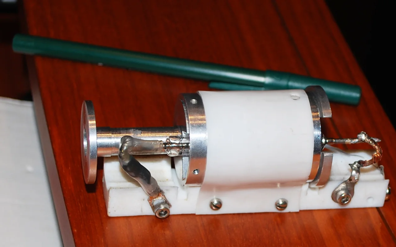
1960–1970 CE · selected laser and low-loss fiber milestones · AmericasLasers, fiber optics and modern photonics

Maiman demonstrated a working ruby laser in 1960; Kao and Hockham’s 1966 analysis identified material purity as the route to practical optical communication, and low-loss glass fiber followed in 1970.

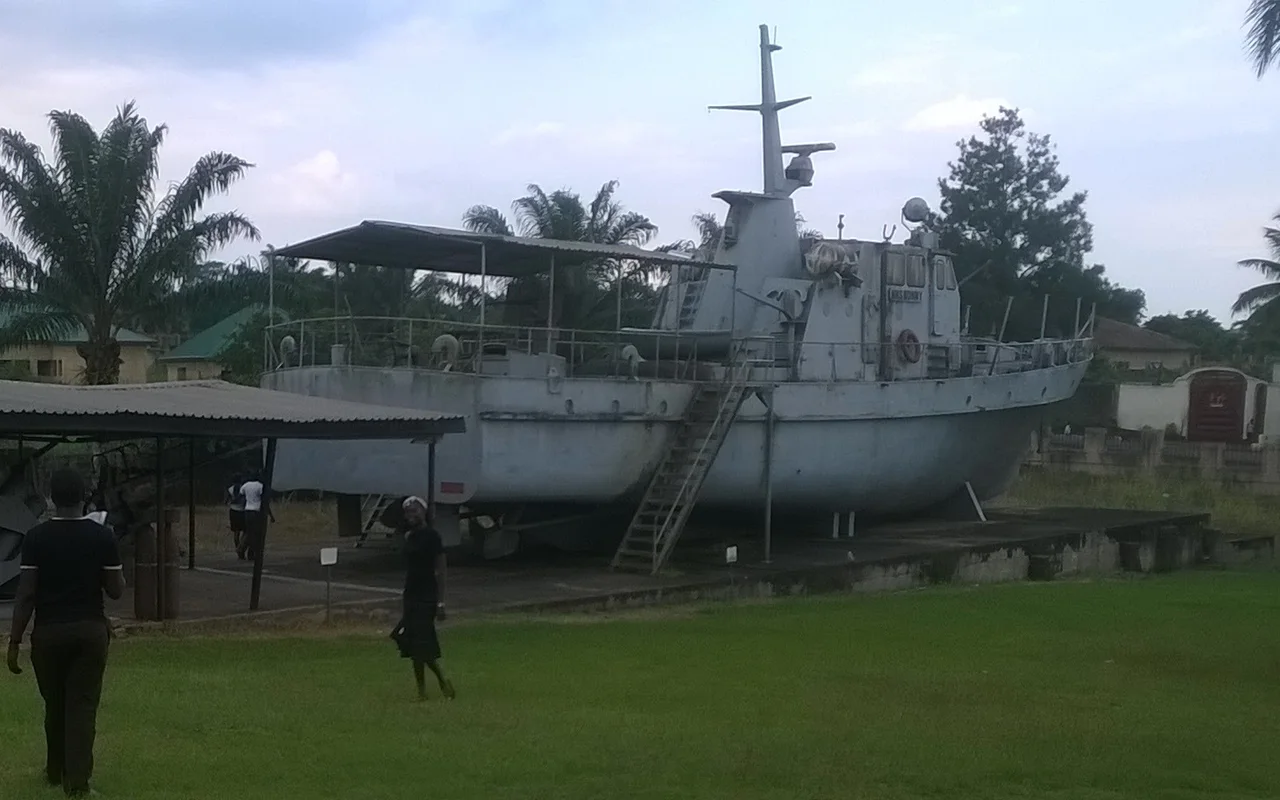
30 May 1967–15 January 1970 CE · secession and civil war · AfricaBiafran War and Nigerian humanitarian crisis

Biafra’s secession followed coups, massacres of Igbo people and a crisis of Nigerian federal authority. Federal victory ended the civil war in January 1970 after blockade, fighting, mass hunger, displacement and civilian death whose totals remain disputed.

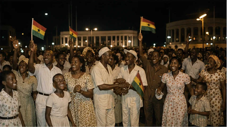
6 March 1957 CE · Gold Coast becomes Ghana · AfricaGhanaian independence

The British colony of the Gold Coast became independent Ghana on 6 March 1957 after strikes, elections, constitutional negotiation and mass anticolonial organizing led through—but not confined to—the Convention People’s Party.