900–1500 CE · Africa · Trade
Kilwa and the Swahili worlds of the Indian Ocean
Kilwa Kisiwani and neighbouring settlements reveal an African coastal history connected to commerce, architecture and political networks across the Indian Ocean.
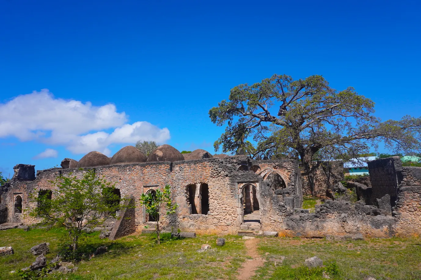 Enlarge and examine the picture
CosMapi / Wikimedia Commons · CC BY-SA 4.0 · Converted to WebP; derivative under the same licence · Source and rights ↗ · Licence terms
A coastal centre with inland connections
Settled by the eighth century, Kilwa grew into a major town between the eleventh and fifteenth centuries. Its history links East African communities to wider oceanic exchange. The 900–1500 range frames this study; it is not a founding date or an endpoint for settlement. Its built environment and surviving objects help reconstruct a town shaped by local society and long-distance connections. The coast should be understood as an active centre of these relationships, rather than simply a stopping point for foreign traders.
Changing functions over time
The town’s prominence changed, but decline in one commercial period did not mean disappearance. Kilwa remained populated in the sixteenth and seventeenth centuries and by the late eighteenth century became a node in the slave and ivory trades. A single timeless “trade city” image can conceal these important transformations.
What the ruins can and cannot show
Walls, mosques and palace remains provide evidence of settlement and investment, but they need archaeological and documentary context. A present-day photograph records the surviving site. It does not independently establish who occupied each building at a particular date or the volume of goods passing through the port.