ATLAS / ANCIENT—PRESENT
All historyHow Atlas is sourced← Back to Atlas
Back to Atlas timeline
Indian Ocean and East African slave trades — original Atlas editorial reconstruction

c. 700–early 1900s CE · regional survey · Africa · Trade

Indian Ocean and East African slave trades

Interconnected Red Sea and Indian Ocean systems moved commodities and enslaved people among East Africa, Arabia, Persia, India and island societies; Zanzibar became a major nineteenth-century hub.

Atlas dossier · Medieval World

Free device narration · synchronized English captions · transcript available

Why it matters

These long-lived trades shaped Swahili coast societies and diasporas while subjecting generations to capture, forced migration and plantation or domestic servitude.

Date
c. 700–early 1900s CE · regional survey
Historical setting
Medieval World · Africa
People & communities
Swahili coastal communities · Arab, Persian, Indian and African merchants · enslaved peoples · abolitionists

Several connected histories

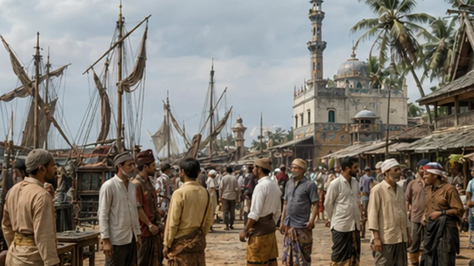
Red Sea, western Indian Ocean and East African routes changed across centuries; they were not a single centrally directed trade. Kilwa’s ruins document a Swahili port occupied from the ninth to nineteenth centuries and especially prosperous in the thirteenth and fourteenth, with trade linking the African interior to Arabia, India and China.

UNESCO World Heritage Centre: Kilwa Kisiwani and Songo Mnara ↗

Zanzibar belongs chiefly to the later story

Stone Town’s fabric records long African, Arab, Indian and European interchange. UNESCO also identifies Zanzibar as a major East African slave-trading port and a place associated with suppression campaigns. Its nineteenth-century prominence must not be projected backwards across the full survey.

UNESCO World Heritage Centre: Stone Town of Zanzibar ↗

Illustrated sequence

Silent pan-and-zoom motion derivative of the Indian Ocean and East African slave trades reconstruction; not archival footage.

Indian Ocean and East African slave trades: people and actionEnlarge and examine the picture

Examine the picture

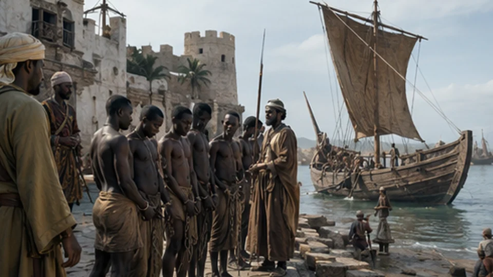
IMAGE 2

Supporting Atlas reconstruction

Supporting Atlas reconstruction within the same Indian Ocean and East African slave trades editorial package; not an independent archival record.

World History in Pictures · Same editorial artwork package

How Atlas classifies this artwork →

Interpretation note

Evidence, memory and historical debate

This dossier distinguishes the event’s basic chronology from later arguments about meaning, responsibility and legacy. When comparing religious, national, Indigenous or scholarly interpretations, consult the primary and institutional sources above alongside peer-reviewed historical work.

Elsewhere in the world

Parallel histories near this moment

711–1600 CE · selected regional survey · GlobalIslam spreads across Africa and Asia

Muslim rule and belief expanded through conquest, diplomacy, scholarship, Sufi networks and maritime trade into West and East Africa, Central and South Asia, and island Southeast Asia.

622–1258 CE · Middle EastIslamic expansion and Golden Age

Muslim-ruled societies connected trade and scholarship from Iberia to Central Asia; scholars advanced mathematics, astronomy, medicine and philosophy.

618–1279 CE · AsiaTang and Song China

Tang (618–907) and Song (960–1279) were separate dynasties, divided by the Five Dynasties and Ten Kingdoms era. Their changing societies developed major cities, commercial networks, printing, technical knowledge and distinctive scholarly and artistic traditions.

Explore the connections

Pacific voyaging, settlement and navigational knowledge →

Kilwa and the Swahili worlds of the Indian Ocean →

Fiji: cession, labour and the terms of independence →