ATLAS / WORLD HISTORY IN PICTURES

The reading room

Find your way through history.

Explore 279 entries across places and centuries. Follow an event, compare its context, and examine the evidence.

Jump to the pictures and stories ↓

2 entries · Oldest periods first

Back to filters ↑
1821–1847 CEIn-depth study
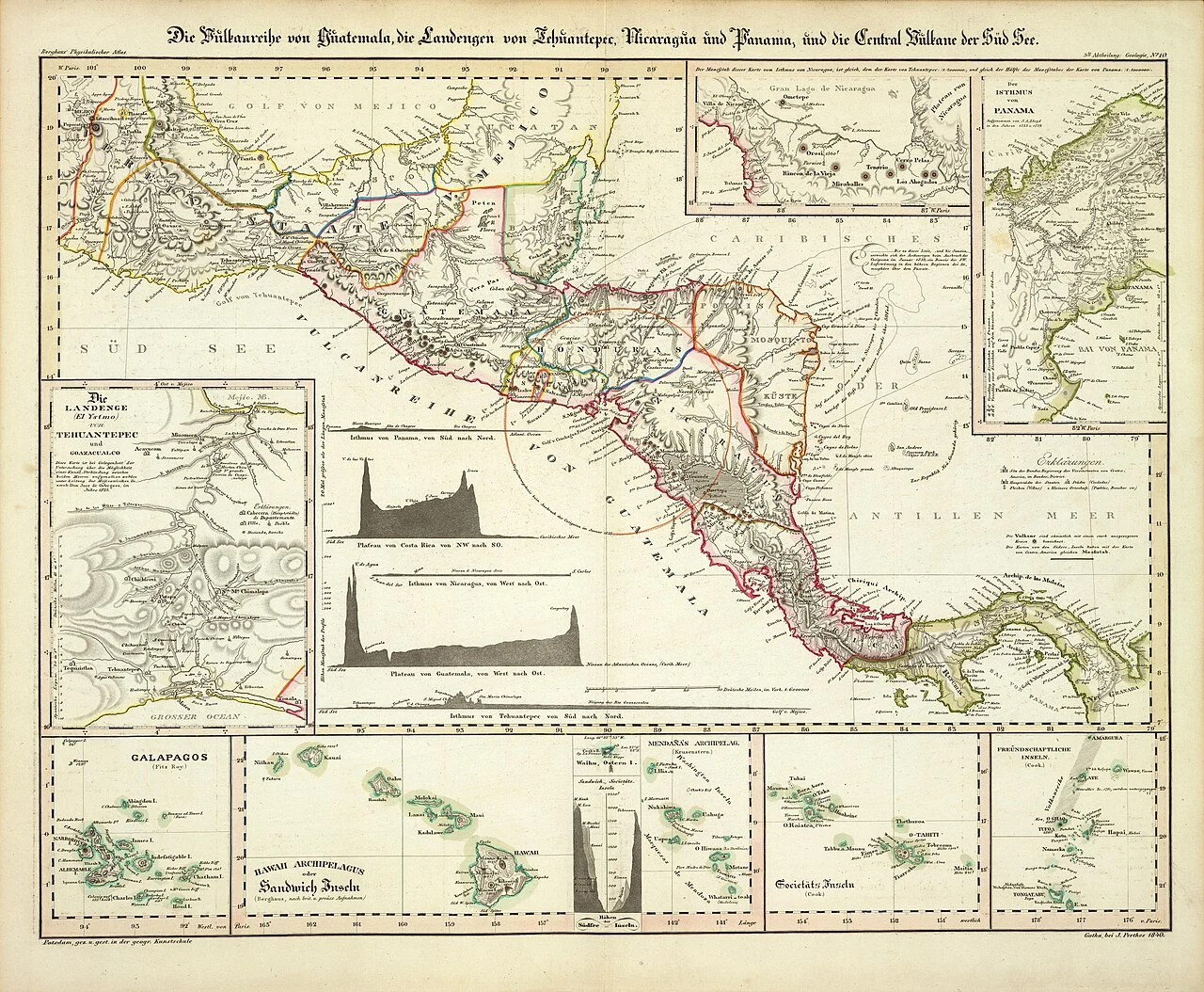
Heinrich Berghaus’s 1840 map of Central America and Pacific volcanic regions, published during the federation’s dissolution. Historical names and boundaries are not modern territorial claims.
Picture source & rightsHeinrich Berghaus · David Rumsey Map Collection via Wikimedia Commons · Public domain · WebP conversion of 1280px delivery image · Licence terms

Americas / Rights

Central America: independence and the federal experiment

The five states of a short-lived Central American federation did not emerge through identical national stories. Independence, a federal constitution and a prolonged breakup must be distinguished from one another.

Read →
1869–1870 CEIn-depth study
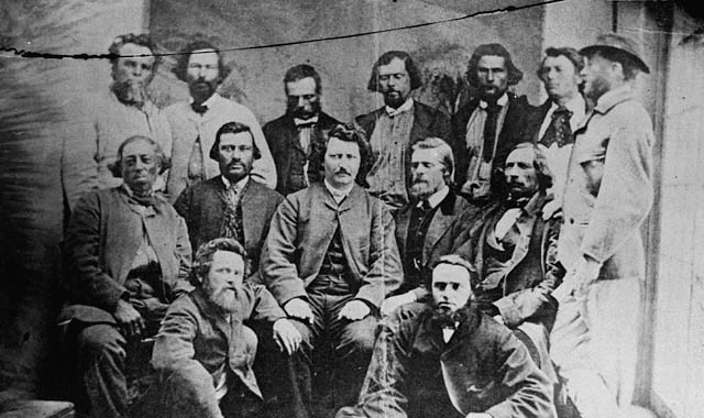
Officeholders associated with the Métis provisional government, 1870; believed to be photographed by Joseph Langevin in June. Not everyone pictured was a legislative councillor.
Picture source & rightsLibrary and Archives Canada · PA-012854 / MIKAN 3194516 · via Wikimedia Commons · Public domain in Canada and the United States · WebP conversion, no enlargement · Licence terms

Americas / Rights

Red River: Métis government and the making of Manitoba

Manitoba’s entry into Confederation was negotiated through Métis political action. The photograph of the provisional government challenges a story in which Canadian expansion simply happened to an unrepresented population.
Read →