The reading room
Find your way through history. Explore 279 entries across places and centuries. Follow an event, compare its context, and examine the evidence.
Jump to the pictures and stories ↓ Africa Americas Asia Europe Middle East Oceania Global 1290–1224 BCE
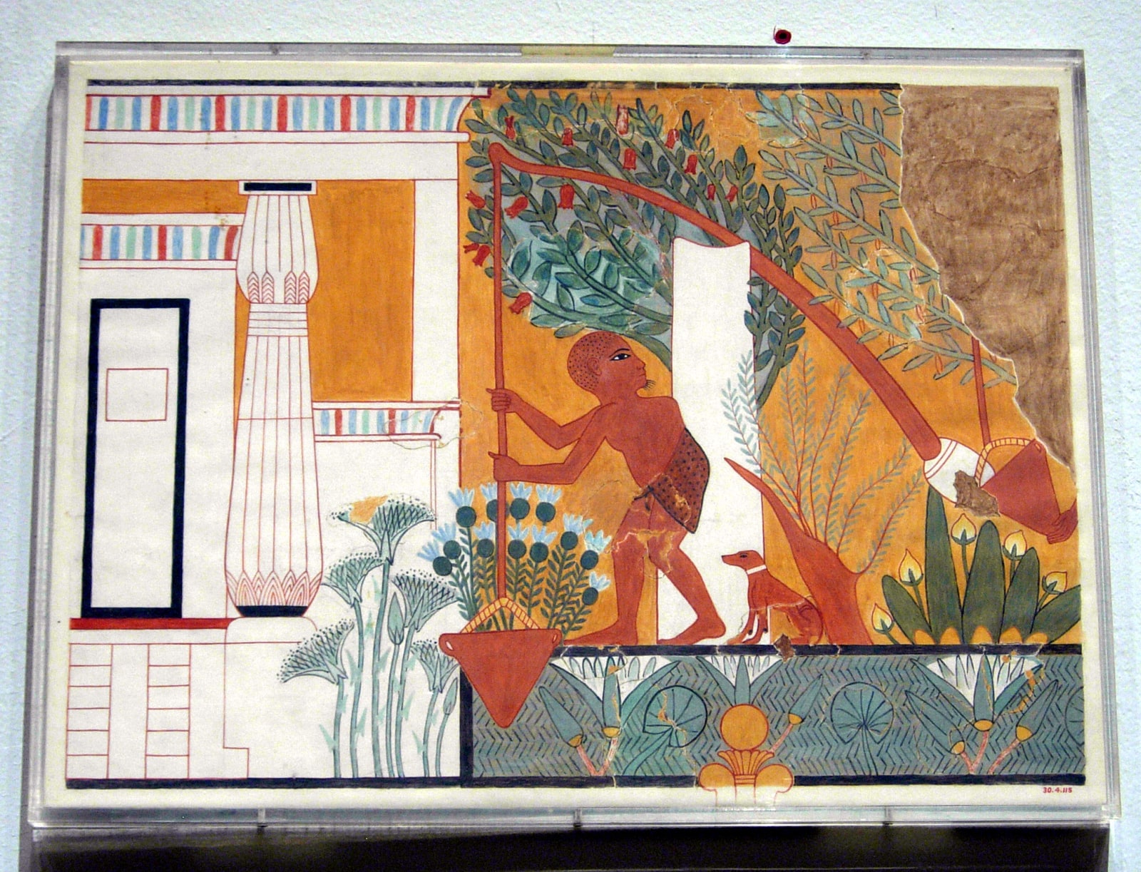
In-depth study Norman de Garis Davies’s facsimile of the Garden Scene in the tomb of Ipuy. The original scene dates to about 1290–1224 BCE; this is a modern copy on paper.Picture source & rights The Metropolitan Museum of Art · 30.4.115 · Public domain / Open Access · Resized for web Interactive 3D → Africa / Technology
A garden scene from the tomb of Ipuy opens a view onto the practical work of obtaining water. A counterbalanced lifting device links a simple mechanical principle with the labour required to sustain cultivation.
Read → 800–1500 CE
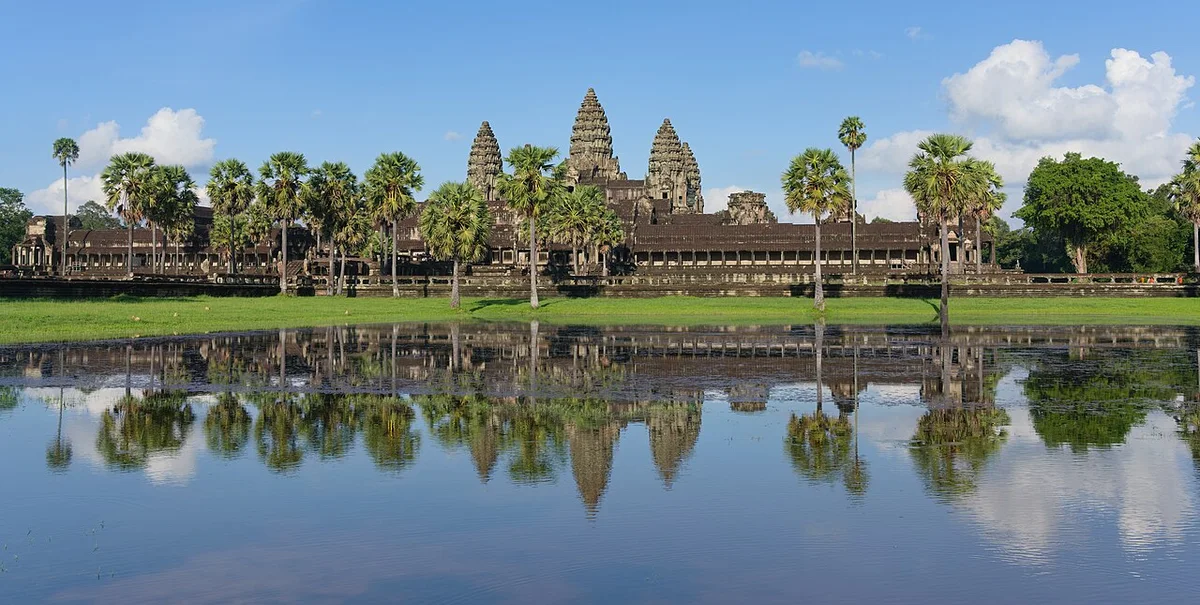
In-depth study Angkor Wat, photographed on 9 September 2022. This present-day view records a surviving monument, not the full extent or original condition of the Khmer cities.Picture source & rights Satdeep Gill / Wikimedia Commons · CC BY-SA 4.0 · Existing crop resized and converted to WebP; derivative under the same licence · Licence terms Asia / Empire
Cambodia’s history includes centuries of Khmer urban life before the twentieth-century catastrophes. Angkor connects monumental temples with water infrastructure, agriculture and changing religious traditions.
Read → 1804–1903 CE
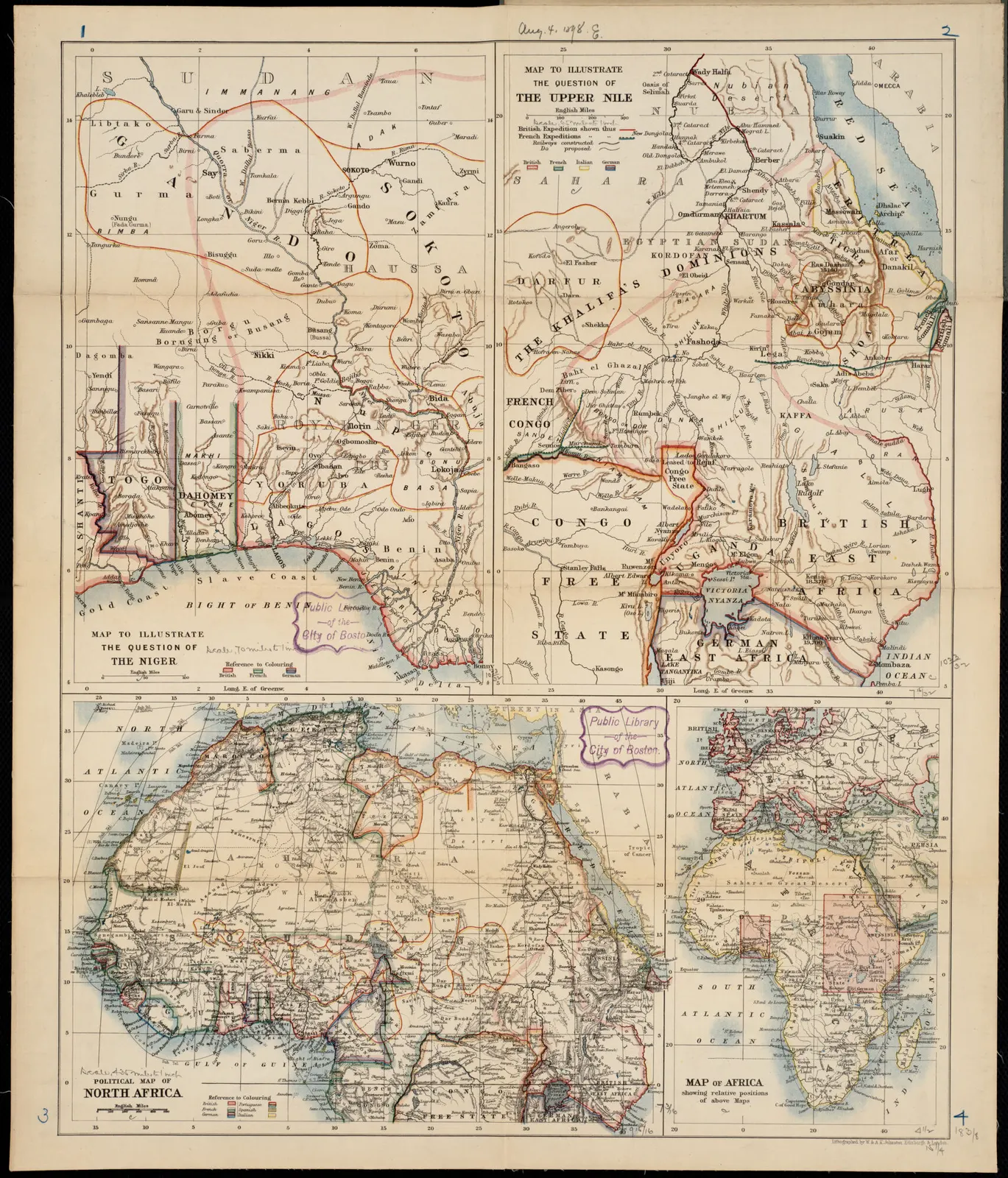
In-depth study An 1898 British map sheet showing the Niger region, with Sokoto, Gando and Kano visible in its upper-left panel during the late caliphate. It is a colonial map emphasizing European territorial claims; its borders and political categories are not neutral or definitive.Picture source & rights W. & A.K. Johnston Limited / Norman B. Leventhal Map & Education Center, Boston Public Library / Wikimedia Commons · 1898 publication, public domain in the United States · Full sheet retained; resized and converted to WebP · Licence terms Africa / Empire
The nineteenth-century Sokoto Caliphate linked religious reform and state formation to an expanding plantation economy sustained by enslaved labour.
Read → 1838 CE
In-depth study Herbert River Native Mounted Police camp, Queensland, c. 1870. The photograph documents personnel and infrastructure of a force central to colonial frontier violence, but it does not show an attack or its victims. Aboriginal and Torres Strait Islander viewers are advised that historical photographs may show people who have died.Picture source & rights Unknown photographer / State Library of Queensland / Wikimedia Commons · Public domain · Full frame retained; resized and converted to WebP · Licence terms Oceania / Empire
The killing of Gamilaraay people at Myall Creek exposes the violence accompanying settler expansion and the exceptional nature of the prosecutions that followed.
Read → 1840 CE
In-depth study The Waitangi sheet of te Tiriti o Waitangi, signed in 1840.Picture source & rights Archives New Zealand, IA9/9 Sheet 1 · CC BY-SA 2.0 · Image unchanged Oceania / Rights
An agreement between Māori rangatira and the British Crown became central to New Zealand’s history. Its Māori and English texts conveyed different understandings of authority.
Read → 1845–1852 CE
In-depth study Office of Public Works map of Irish baronies with relief works, dated 13 November 1846. The green marks record works, not deaths, the severity of hunger or the effectiveness of relief.Picture source & rights Office of Public Works, Ireland; University of Southampton Library digitization / Wikimedia Commons · Public domain · Full frame retained; resized and converted to WebP · Licence terms Europe / Rights
The famine devastated Irish communities. Records of pleas for assistance reveal both local suffering and the institutions responsible for relief.
Read → 1845–1872 CE
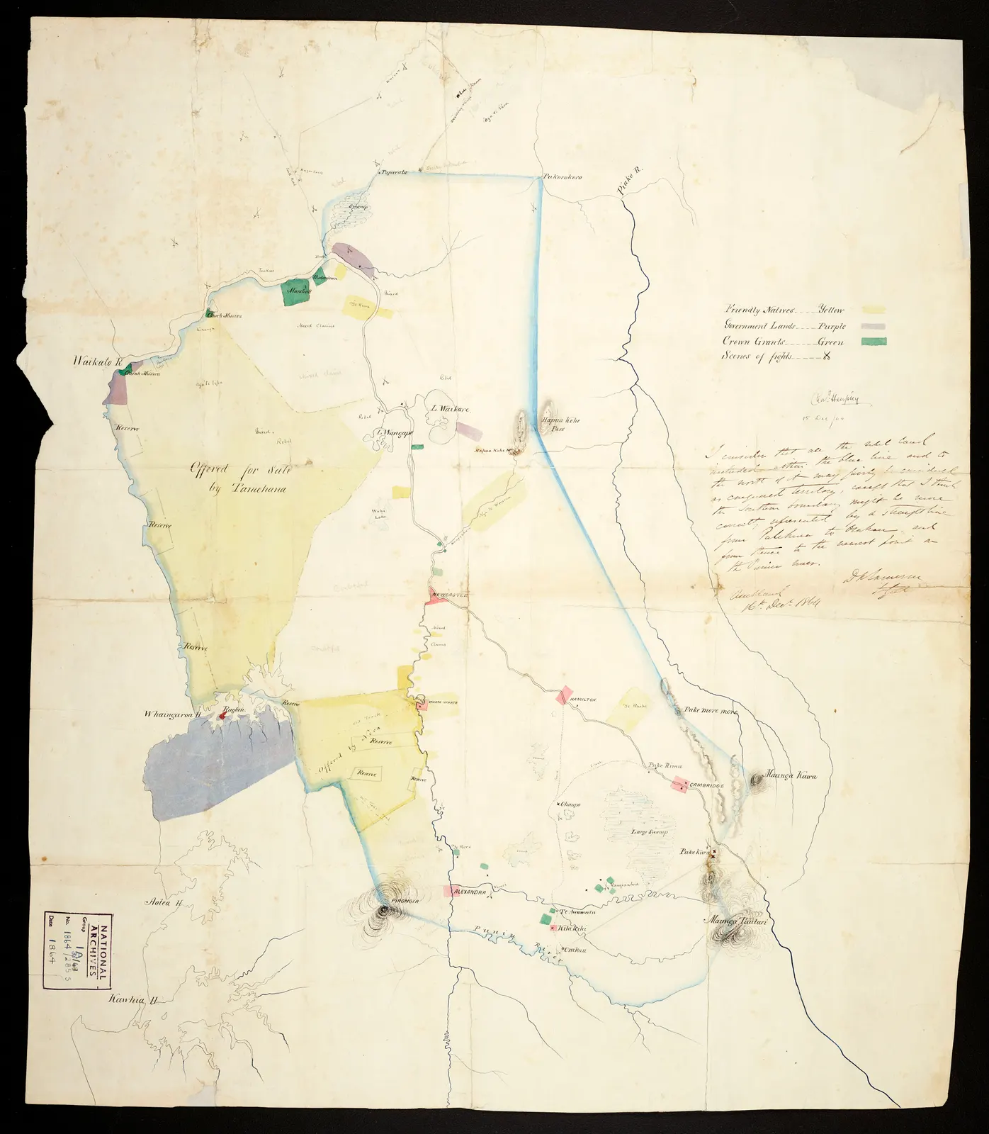
In-depth study An 1864 Waikato land-confiscation map, signed by Charles Heaphy and annotated by General Cameron. A colonial administrative source, not a neutral account of Māori land rights or a modern boundary map.Picture source & rights Archives New Zealand Te Rua Mahara o te Kāwanatanga · ACGO 8368 IA36/8/49 · CC BY 2.0 · Full frame retained; resized and converted to WebP · Licence terms Oceania / War
Wars between Crown forces, Māori opponents and Māori allies of the Crown reshaped authority and landholding across the North Island.
Read → 1885–1908 CE
In-depth study Revenue divisions and concessions of the Congo Free State, from E. D. Morel’s Red Rubber (1906). A reform campaign’s evidentiary map; its crosses are not a complete count of victims or incidents.Picture source & rights E. D. Morel · Red Rubber (1906) / Wikimedia Commons · Public domain · Full-frame Wikimedia 1280-pixel derivative converted to WebP · Licence terms Africa / Empire
Leopold II’s Congo Free State organised violent extraction of rubber and ivory. Its history requires attention to coercion, disrupted livelihoods and the limits of population estimates.
Read → 1905–1907 CE
In-depth study Content note: this non-graphic photograph shows condemned Maji Maji fighters shortly before their execution in February 1906. The original photographer and holding institution are not identified; the file is a 2014 digital reproduction of the archival image.Picture source & rights Original photographer unidentified; digital reproduction by Downluke / Wikimedia Commons · CC BY-SA 4.0 · 960-pixel Wikimedia derivative converted to WebP; derivative under the same licence · Licence terms Africa / War
Resistance to German rule in East Africa grew from coercive taxation and labour. The suppression devastated communities in what is now mainland Tanzania.
Read → 1958–1962 CE
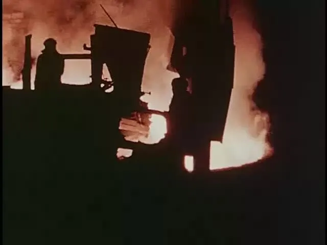
In-depth study Workers beside a furnace in a frame at 25:00 from the 1958 U.S. government documentary China Leaps Forward. The exact people and facility are unidentified, and the CIA-produced film provides a Cold War American interpretation rather than neutral Chinese documentation.Picture source & rights Central Intelligence Agency / U.S. National Archives / Wikimedia Commons timed-media frame · U.S. federal work, public domain · Converted to WebP · Licence terms Asia / Rights
A drive for accelerated socialist production reorganised rural China. The resulting famine killed tens of millions; dates and estimates vary across historical reconstructions.
Read → 1959–1962 CE
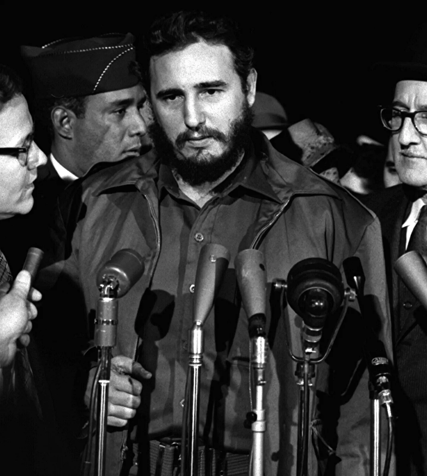
In-depth study Fidel Castro speaks to reporters in Washington, D.C., on 15 April 1959, after the revolutionary victory. This post-victory diplomatic image centers Castro; it does not depict the overthrow of Batista, popular participation or early policy change.Picture source & rights Unidentified U.S. News & World Report photographer / Library of Congress, LC-DIG-ppmsc-03256 / Wikimedia Commons · Rights dedicated to the public upon collection donation · Resized and converted to WebP · Licence terms Americas / Rights
The overthrow of Batista opened a struggle over political power and property. Cuba’s relationship with the United States deteriorated as ties with the Soviet Union strengthened.
Read → 1966 CE
In-depth study The Johnson and Marcos parties tour rice fields at Los Baños on 26 October 1966 during a visit to the International Rice Research Institute in the early IR8 release period. The NARA caption does not identify the particular plot or plants in this frame as IR8.Picture source & rights White House Photo Office / National Archives and Records Administration; LBJ Library / Wikimedia Commons · U.S. federal work, public domain in the United States · Converted to WebP · Licence terms Asia / Science
The release of IR8 rice illustrates the Green Revolution’s promise of greater yields and the importance of water, inputs and access to technology.
Read → 1982–1993 CE
In-depth study A view on Mer (Murray Island), Torres Strait, June 1931. Place context for the later Mabo case—not Eddie Mabo, his property or the 1992 judgment. The exact path is not identified in the source.Picture source & rights Queensland State Archives · Digital Image ID 5769 · Home Secretary’s Office · Public domain · Wikimedia derivative reduced to the original 720-pixel width and converted to WebP · Licence terms Oceania / Rights
Meriam plaintiffs challenged the denial of their landholding. The 1992 Mabo judgment recognised native title and helped reshape Australian land law.
Read →